The Mount Agung hike takes you to the top of the largest and worst volcanic peak on the Island of Bali, Indonesia, and the view of the sunrise is out of this world.
This epic and brutal hike takes you up the steep slopes of an active volcano until you look at the massive crater itself.
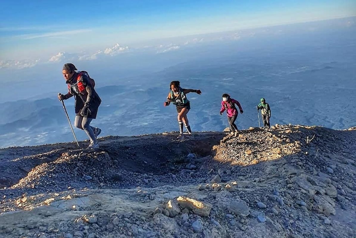
I recently climbed Agung and it was one of the most difficult and exciting hikes I have ever experienced. There are two main routes for hiking on the volcano, and each has its own challenges.
This blog will teach you how to do the hike with or without a guide and what else you need to know before you go!
Fast Facts
Distance: 8 kilometers (4 miles) back
Positive elevation gain: 1,500 meters (~5,000 feet)
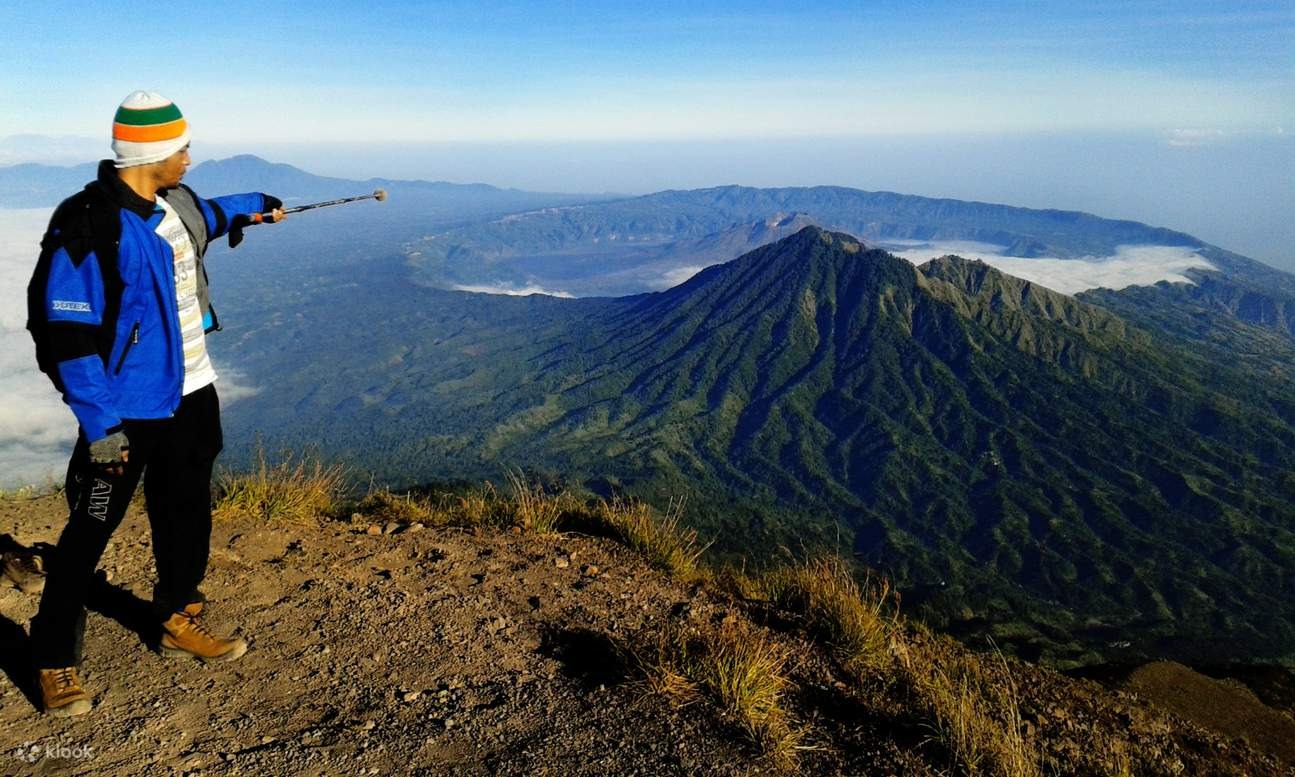
Height above: 3,142 meters (10,308 feet)
Duration: 8 to 12 hours round trip
Difficulty: Difficult
Where is Mount Agung located?
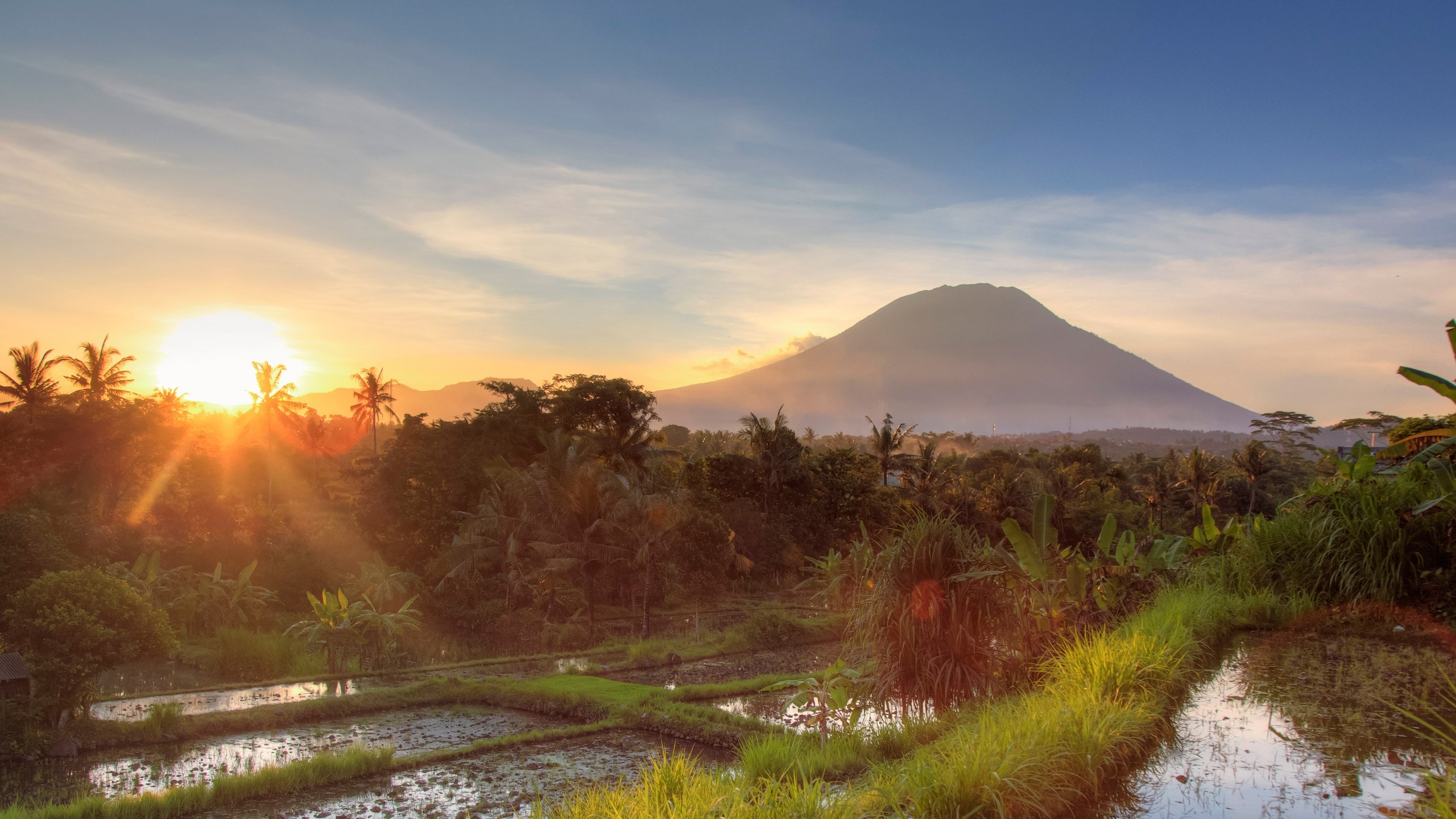
The Mount Agung volcano is located in the Karangasem government district, in the north-eastern corner of the Island of Bali.
It is about a 1.5 hour drive from Ubud or a 2 hour drive from Kuta, Canggu and Sanur.
About Mount Agung Volcano
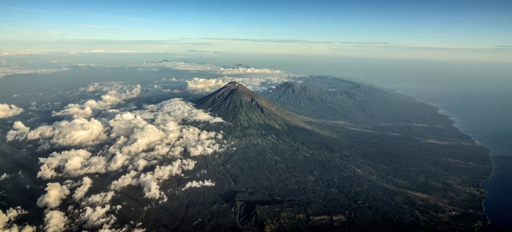
Mount Agung (also called Gunung Agung in Indonesian) is the highest point in Bali and one of the 100 most prominent peaks on the planet at 3,142 meters. My wife informs me that the name means “big mountain”.
Gunung Agung has long been considered by the Balinese as the navel of the world and is still sacred in their faith. If you are doing this hike with a local guide, he will make a few stops along the way to burn Hindu incense and pray.
The Balinese respect the mountains as the place of residence of the gods, and in ancient times, one could not climb Agung without the presence of a Hindu priest.
History of the eruption of Mount Agung
Mount Agung is an active volcano that has experienced large eruptions throughout history. In 1963, a catastrophic eruption wiped out the surrounding villages, finishing 2,000 people.
The last eruption of Mount Agung took place in 2017-2019, when it exploded with a huge ash cloud 4 kilometers high that wreaked havoc in Bali. More than 100,000 residents of Karangasem have been evacuated and hundreds of tourist flights have been canceled or diverted.
Nowadays, signs of impending volcanic activity in Agung are constantly monitored by the Indonesian government, and in matter of tremors, the mountain is sometimes closed to hikers.
Mount Agung Security
Obviously, there is no guarantee of safety when you go up to Agung. This is an active volcano, so there is always a certain risk.
However, it seems that catastrophic eruptions are usually decades apart (after a long accumulation of pressure), and most years there is no significant volcanic activity.
Personally, I found the level of risk acceptable, and I would like to get back on the Agung at some point. But know your limits! This is a serious hike and you need good mobility.
Over the years, there have been at least half a dozen passed away while hiking Mount Agung, including two in 2024.
However, passed away on the mountain were usually due to unfit/elderly hikers, bad weather and/or hiking without a guide.